
Local maps: street maps, sketch maps and distance
Street maps, sketch maps, route descriptions and how to measure straight and winding distances. Read one part at a time and tap “I know this”. Then test yourself in the quiz.
Know it already? Jump straight to the quiz
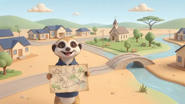
Street maps and sketch maps
A street map is a large-scale map of your town, ideal for finding a friend’s house. Look up the street in the index: Oak Street 24 C4 means page 24, grid block C4. A large-scale map shows a small area with lots of detail (a street map, 1 : 10 000). A small-scale map shows a large area with little detail (a world map in an atlas, 1 : 50 000 000).
A sketch map is a simple hand-drawn map of the main features. Every sketch map needs a title, key, north arrow and scale. You can record land use on it: where the houses, shops, farms and parks are. A cross is the usual symbol for a church.
Describe a route
- Give turns and street names.
- Mention landmarks: easy-to-spot features.
- Give distances, so the person knows when to turn.
- Use directions: if the morning sun rises in front of you, you are walking east.
- The four cardinal points are north, east, south and west; between them lie NE, SE, SW and NW (eight points in all). To give a direction on a map, imagine the compass on the place you start from: “The school is north-east of the shop.”

Finding places in the news on a world map shows where events happen and who is affected. 34° S, 22° E gives a place’s latitude and longitude.
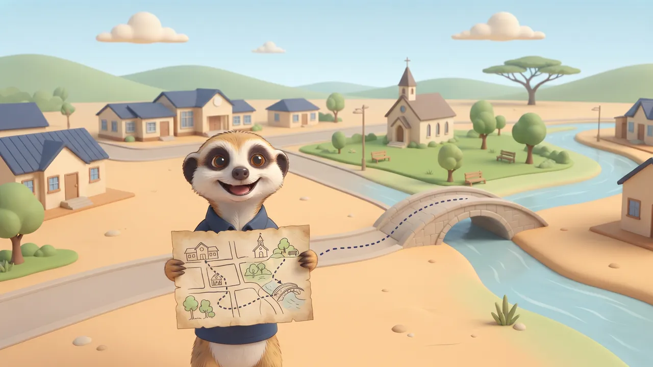
Measure distances
| Kind of distance | How to measure |
|---|---|
| Direct (straight) | With a ruler from point to point |
| Indirect (along the road) | Lay string along the winding road, then measure the string |
- Word scale “1 cm represents 500 m”: 6 cm = 6 × 500 m = 3 km.
- Line scale 2 cm = 1 km and 8 cm of string: 8 ÷ 2 = 4 km.
- 1 cm = 2 km and 3 cm straight: 6 km direct.
Estimate first, then measure
- Estimate the distance with the scale: how many times does the scale bar fit between the two places?
- Measure the route accurately: a straight line with a ruler, a winding road with a piece of string that you then pull straight.
- Compare your estimate with the measurement.
Remember this and test yourself
- A street guide’s index gives page and block: Oak Street 24 C4.
- A sketch map always has a title, key, north arrow and scale.
- A good route description gives turns, street names, landmarks and distances.
- Direct distance is straight; indirect distance follows the roads. Measure a winding road with string.
- Word scale “1 cm represents 500 m”: 6 cm = 3 km.
Write these points in your book. Read them again the night before the test.
Every sketch map: Title, Key, North arrow, Scale: “Tall Kids Never Sit.”
Important words
First say what the word means, then turn the card over.
Match column A to column B
Tap a word in column A, then its meaning in column B. You can also start in column B.
True or false?
Read the question and the answer. Is the answer right? Tap True or False.

Now the real quiz!
The quiz has many more questions on this topic. Every question shows straight away whether you are right and explains why.
Take the quiz: Local maps: street maps, sketch maps and distance- Read one part together and ask your child to tell it back in their own words.
- The ticks (“I know this”) are saved on this device only. We never ask for names or emails.
Follows CAPS for Grade 7 Social Sciences (Geography). Always check your teacher’s notes and textbook too.