
Africa’s rivers and landforms
How a river flows from its source to its mouth, and Africa’s big rivers, waterfalls and landforms. Read one part at a time and tap “I know this”. Then test yourself in the quiz.
Know it already? Jump straight to the quiz
The life of a river
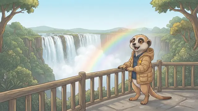
A river always flows downhill, from high to low. It begins at its source, often high in the mountains, and ends at its mouth in a sea or lake.
- A tributary is a smaller river that joins a big one.
- A watershed is high ground between two river systems.
- A waterfall forms where soft rock wears away faster than hard rock.
Africa’s big rivers
| River | What to know |
|---|---|
| Nile | Africa’s longest river; starts at Lake Victoria and flows north to the Mediterranean |
| Congo | Second longest; crosses the equator twice; flows into the Atlantic Ocean |
| Niger | Flows through West Africa (Mali, Niger and Nigeria) and forms a big delta in Nigeria before it reaches the Atlantic Ocean |
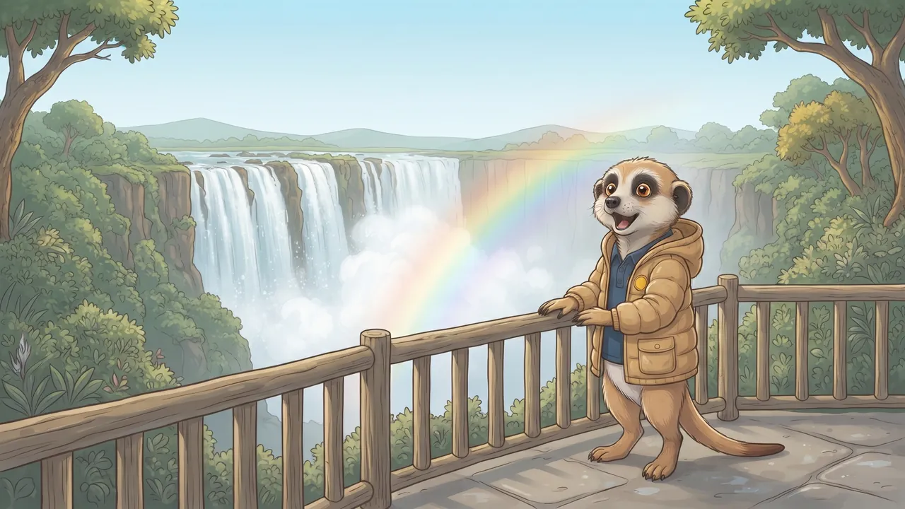
| Zambezi | The Victoria Falls; flows east to the Indian Ocean |
| Limpopo | Border with Botswana and Zimbabwe; flows east through Mozambique to the Indian Ocean |
| Orange (Gariep) | Border with Namibia; the Augrabies Falls; flows west to the Atlantic Ocean |
Africa’s landforms
- Kilimanjaro is Africa’s highest mountain. Even though it is near the equator, it has snow, because the top is so high and cold.
- The Sahara is the world’s largest hot desert.
- A meteorite crater is a hollow made by a rock from space.
- Robben Island lies in Table Bay, off Cape Town.

People usually build settlements on flat ground near water, not on steep slopes.
Africa’s records on a physical map
A physical map shows height with colours (green for low, yellow and brown for higher) and with spot heights: a dot with a number, such as 5 895 m.
| What | Where |
|---|---|
| Highest mountains: Kilimanjaro (5 895 m) and Mount Kenya | Tanzania and Kenya |
| Highest peak in southern Africa: Thabana Ntlenyana | Lesotho, in the Drakensberg |
| Three largest lakes: Victoria, Tanganyika, Malawi | East Africa |
| Famous waterfalls: Victoria, Maletsunyane, Augrabies | Zambezi (Zambia/Zimbabwe), Lesotho, Orange River (Northern Cape) |
| Large deserts: Sahara and Namib | North Africa; Namibia’s coast |
Rivers and lakes often form borders: the Limpopo separates South Africa from Botswana and Zimbabwe, and the Orange River between South Africa and Namibia.
Remember this and test yourself
- A river always flows downhill, from its source to its mouth.
- A tributary is a smaller river that joins a big one; a watershed is high ground between two river systems.
- The Nile is Africa’s longest river; the Congo crosses the equator twice.
- The Victoria Falls (Mosi-oa-Tunya) are on the Zambezi; the Augrabies Falls on the Orange River.
- Kilimanjaro is Africa’s highest mountain; the Sahara is the largest hot desert.
Write these points in your book. Read them again the night before the test.

Nile: flows North and is Number one (longest). The Congo crosses the equator twice.
Important words
First say what the word means, then turn the card over.
Match column A to column B
Tap a word in column A, then its meaning in column B. You can also start in column B.
True or false?
Read the question and the answer. Is the answer right? Tap True or False.

Now the real quiz!
The quiz has many more questions on this topic. Every question shows straight away whether you are right and explains why.
Take the quiz: Africa’s rivers and landforms- Read one part together and ask your child to tell it back in their own words.
- The ticks (“I know this”) are saved on this device only. We never ask for names or emails.
Follows CAPS for Grade 5 Social Sciences (Geography). Always check your teacher’s notes and textbook too.