
Maps and directions
A map helps you find places and know the way. Here you learn how to read any map. Read one part at a time and tap “I know this”. Then test yourself in the quiz.
Know it already? Jump straight to the quiz
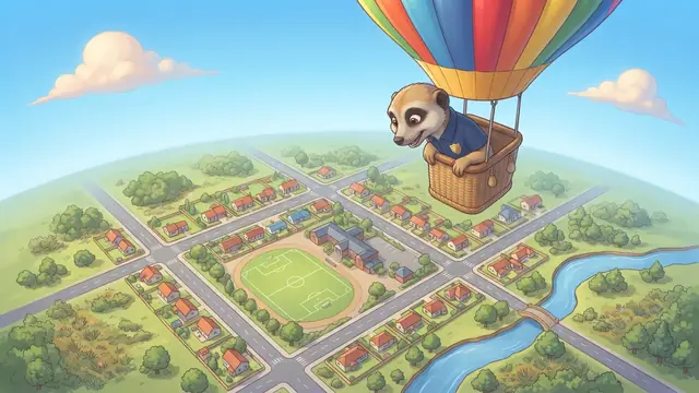
What is a map?
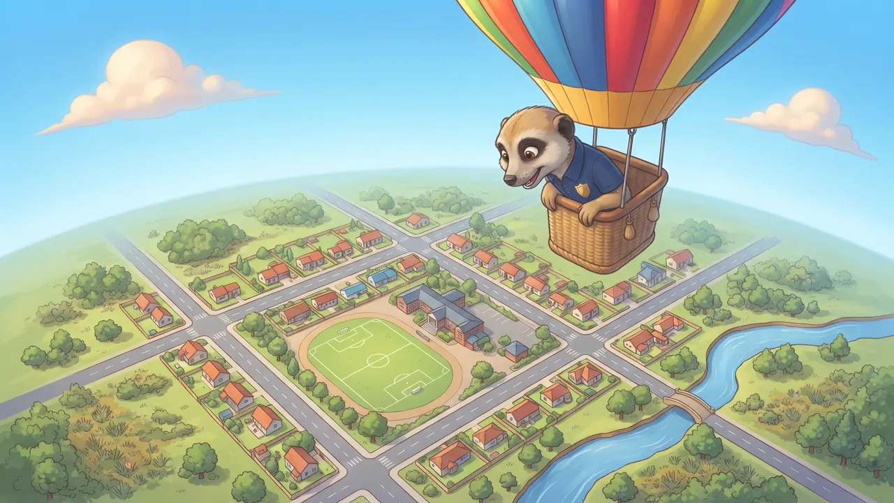
A map is a drawing of a place as a bird sees it from above. We call it a bird’s-eye view. A map shows where things are and how far apart they are.
The title and the key
Every good map has a title that says what the map shows. The key is a box that says what each symbol means. Always look at the key first!
Symbols and colours
A symbol is a small picture, colour or line that stands for something on the map. We use the same colours on most maps:
- Blue: water, such as rivers, dams and the sea.
- Green: plants, parks and forests, and low, flat land.
- Brown: high ground, such as mountains.
- Grey or black lines: roads and railways.
Scale: how far is it really?
A map is much smaller than the real place. The scale tells you how much smaller. On the scale bar below, each block is 100 metres in the real world.
The compass shows the directions
The compass rose shows the four main directions: North, East, South and West. North is usually at the top of the map. Between them are north-east, south-east, south-west and north-west.
Remember the order clockwise: North, East, South, West.
Remember this and test yourself
- A map is a drawing of a place from above (bird’s-eye view).
- The title says what the map shows; the key says what the symbols mean.
- Blue is water, green is plants and low land, brown is high ground.
- The scale shows how far apart things really are.
- The compass rose shows North, East, South and West. North is usually at the top.
Write these points in your book. Read them again the night before the test.
Count the five parts of a map on your fingers: title, key, symbols, scale, compass.
Important words
First say what the word means, then turn the card over.
Match column A to column B
Tap a word in column A, then its meaning in column B. You can also start in column B.
True or false?
Read the question and the answer. Is the answer right? Tap True or False.
Now the real quiz!
The quiz has many more questions on this topic. Every question shows straight away whether you are right and explains why.
Take the quiz: Maps and directions- Read one part together and ask your child to tell it back in their own words.
- The ticks (“I know this”) are saved on this device only. We never ask for names or emails.
Follows CAPS for Grade 4 Social Sciences (Geography). Always check your teacher’s notes and textbook too.